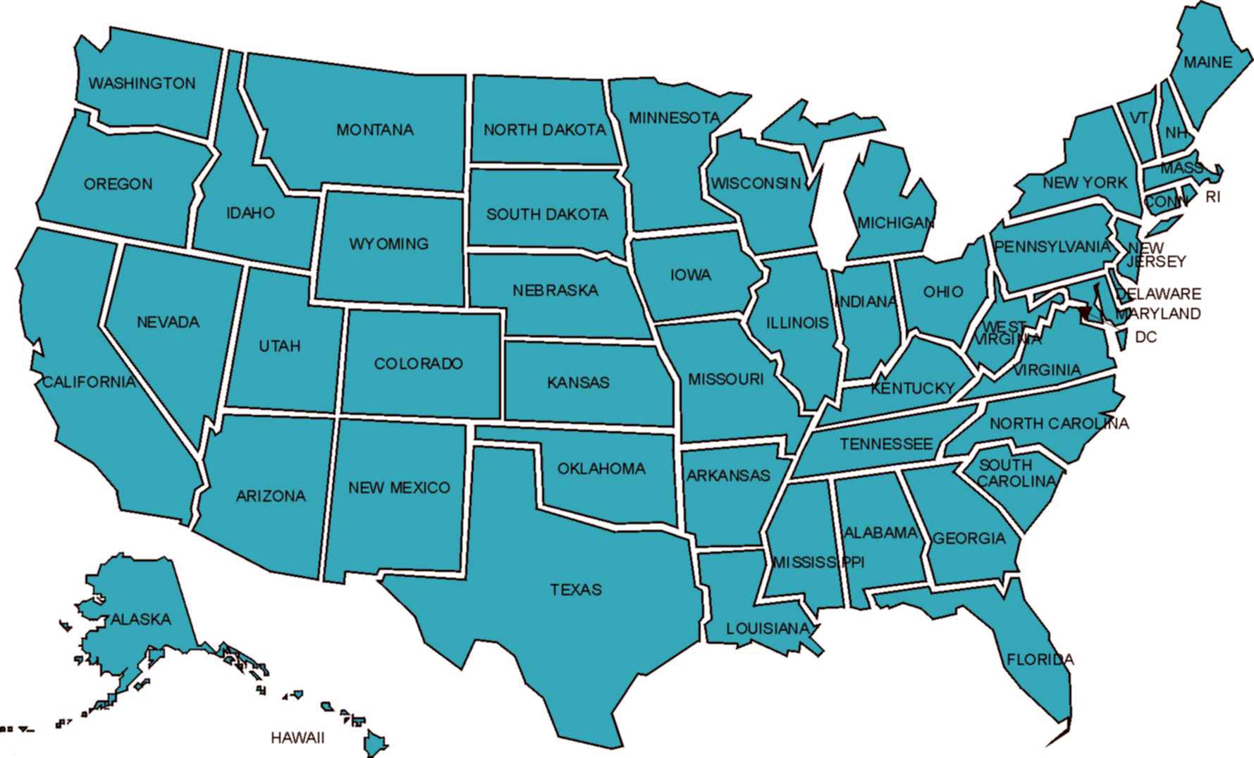
Reapportionment & Redistricting
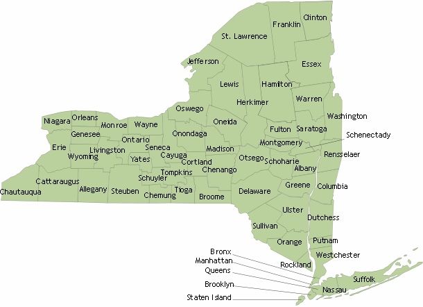
New Congressional Districts for Oswego County for the next decade:
https://latfor.state.ny.us/maps/congress2022/con24.pdf (New York - 24th)
https://latfor.state.ny.us/maps/congress2022/con22.pdf (New York – 22nd)
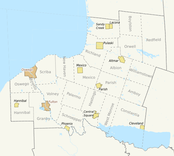
Constantia is split under the new lines, this clarifies it:
https://latfor.state.ny.us/maps/congress2022/con-constantia.pdf
Old Congressional Districts for Oswego County for the previous decade:
http://www.latfor.state.ny.us/maps/2012c/fc24.pdf (New York – 24th)
http://www.latfor.state.ny.us/maps/2012c/fc22.pdf (New York – 22nd)
New Haven was split under the previous lines, this clarified it.
https://www.latfor.state.ny.us/maps/2012c/c-new_haven.pdf
New State Senate Districts for Oswego County for the next decade:
https://latfor.state.ny.us/maps/senate2022/sen50.pdf (50th)
https://latfor.state.ny.us/maps/senate2022/sen49.pdf (49th)
Old Senate District for Oswego County for the previous decade:
https://www.latfor.state.ny.us/maps/2012s/fs48.pdf (48th)
New State Assembly District for Oswego County (Might be altered again):
https://www.latfor.state.ny.us/maps/2022assembly/asm120.pdf (120th)
Old Assembly Districts for Oswego County for the previous decade:
https://www.latfor.state.ny.us/maps/2012a/fa120.pdf (120th)
https://www.latfor.state.ny.us/maps/2012a/fa130.pdf (130th)
What is Redistricting?
It is a process in which legislative districts are altered to reflex changes in population.
This takes place every 10 years in New York State. The Legislative seats in Congress (U.S. House of
Representatives), State Senate, State Assembly, County Legislative Districts and some local
municipalities are changed so that each area represents an approximately equal number of people.
These new districts are typically in place by the first election after the United States Census Bureau
{http://www.census.gov} completes the full National count of people residing in the United States. Last
count was in 2020.
So, for the next 10 years, starting this year, the Federal, State and local legislative districts in Oswego
County will be completely different from the borders as they were for the previous decade.
In the past, when the count was completed, New York State Officials receive the Census Data, work then
immediately begins in Albany, on re-drawing the lines for Congressional seats along with its Bi-Cameral
State Legislative Districts. This power used to rest with the majority parties in the New York State Senate
and the New York State Assembly. The New York State Legislative Task Force on Demographic Research
& Reapportionment {http://www.latfor.state.ny.us/} created in 1978, assisted the State Legislature with
this process. Through the decades, that system has led to new districts that were likely to improve the
chances of the majority parties in Albany, increasing their conference numbers.
As a result of the Redistricting Agreement struck by the Governor and Legislative leaders in 2012, and
approved by the voters, a Non Partisan Redistricting Commission not made up of State Legislators was
supposed to draw the State and Congressional lines for this year. The Commission was unable to come
to an agreement and so the State Senate and Assembly re-drew them similar to the old process. Then
the NY courts found them to be Unconstitutional so a special master redrew them again.
For more information about redistricting please go to http://redistricting.lls.edu/ &
https://ballotpedia.org/Redistricting_in_New_York.